
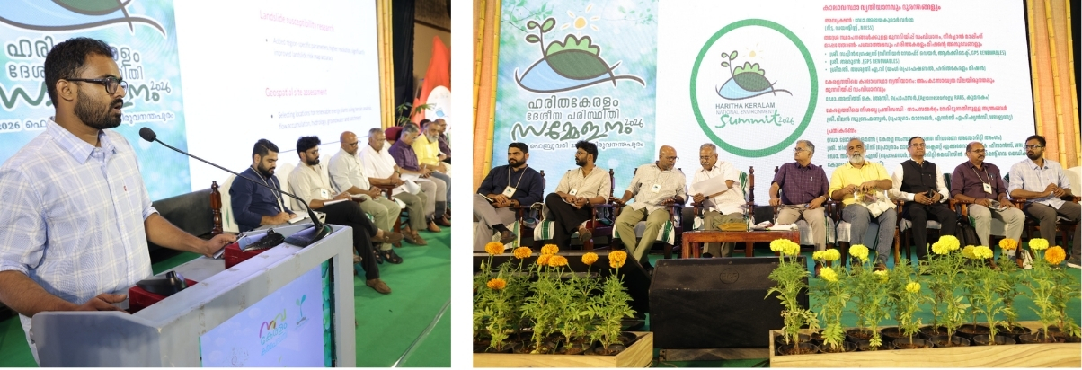
Sachin Gracious @ Haritha Keralam Summit 2026
What warming really means for
Kerala’s hillsides
How do you protect a landscape as complex as the Western Ghats? You start with the water.
We were honored to participate in the Haritha Keralam National Environment Summit 2026, a flagship initiative by the Government of Kerala aimed at achieving Net Zero Carbon emission status by 2050.
Sachin Gracious, Senior Manager- Information Technology, at GPS Renewables’ Climate Software Lab (CSL), was invited to deliver a session on “Warning Systems for Local Self Government Institutions (LSGs)”.
During the session, Sachin highlighted a critical climate reality: Kerala’s daily maximum temperature has risen by 1.7°C since 1901. For every 1°C rise, the atmosphere holds 7% more moisture, leading to the intense, short-duration downpours we are seeing today.
By leveraging advanced geospatial analysis, we are helping local institutions move from “reacting” to “predicting”. Our approach involves:
- Stream Mapping & Hydrology: Refining catchment boundaries and flow accumulation to understand exactly where water gathers during extreme bursts.
- Terrain Analysis: Utilizing high-resolution data (like 1m forest canopy heights) to understand how tree structures and root reinforcement contribute to slope stability.
- Human Impact: Quantifying land-use change and infrastructure impact on slope integrity through the Human Modification Index.
- Local Open Data: Advocating for an integrated, Kerala-specific baseline dataset that combines local rain gauges and weather stations with global algorithms to create actionable, ground-truthed risk maps.
At GPS Renewables, our mission for “Clean Fuels” goes hand-in-hand with “Climate Action.” We believe that the same geospatial precision we use to site renewable energy plants can be a vital tool for public safety and climate adaptation.
A special thanks to Dr. T. N. Seema and the Haritha Keralam Mission for the opportunity to contribute to Kerala’s resilient future.